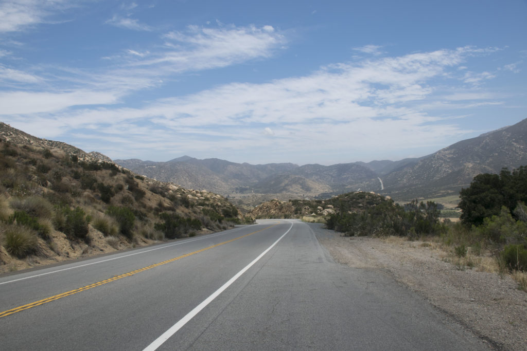
So the PCT something that would be so awesome to be able to say I completed. Something I’m not totally sure I will ever do, but would love to. But like today I do love to go and hike parts of it. Today I wanted to do the first part, yes the very very beginning. So I drove down to the start. Click Here if you would like to see the location on Google Maps. So since I was driving from the San Diego area I thought it would be best to take the 94 because I knew it would be the most scenic and it was really just a nice drive.
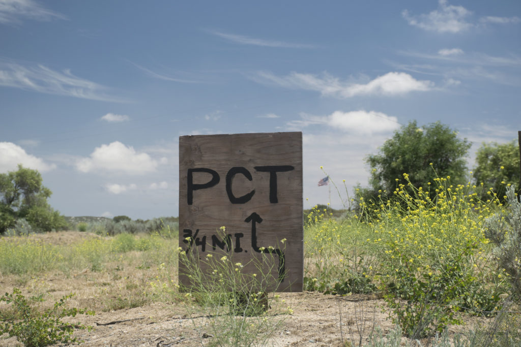
So when driving down Forrest Gate Road you will come up to a sign that looks like the following and you know that you are getting very close.
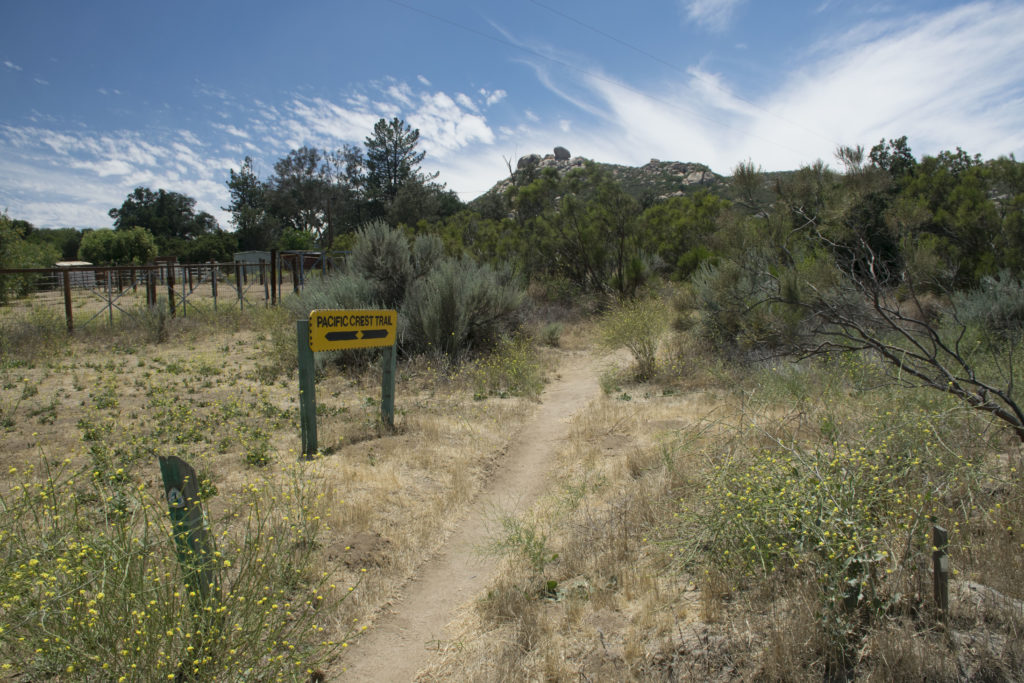
Then not much farther than the last sign you will come up to where you drive over the PCT trail. This sign will be off to the right of the road. It’s right by the curve and will be pretty hard to miss.
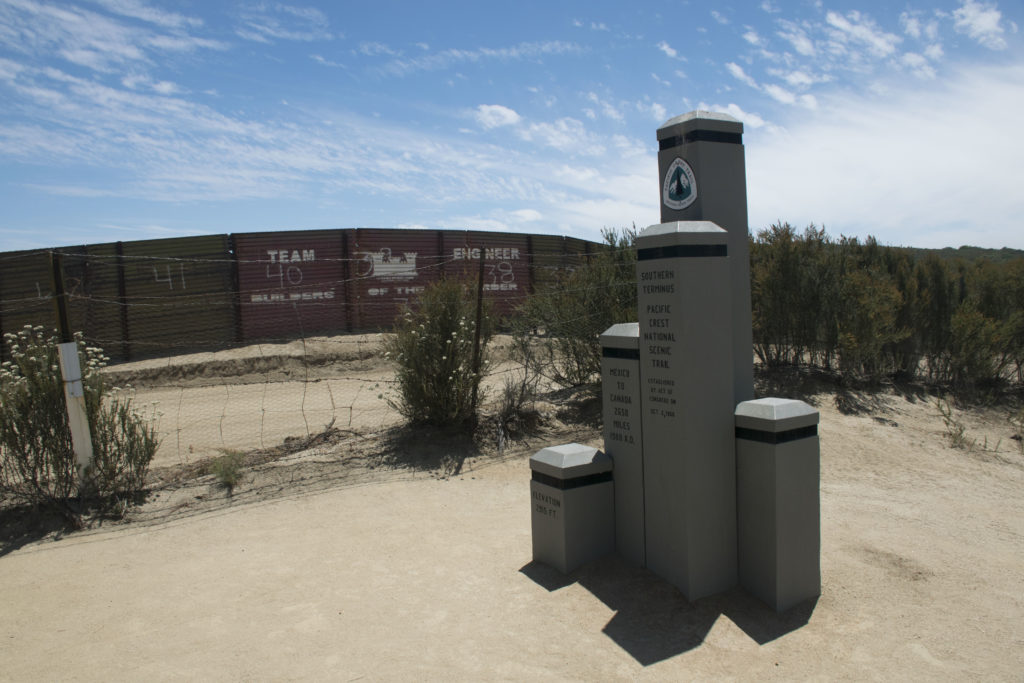
The road will turn into a dirt road, but it wasn’t to bad of a road. Just take it slower if you are in a car. Then not much farther and you will be there. The statue was very close to the border wall. You will also see the dirt road that separated the Border wall and the barbwire fence.
This is a 360 picture so if you’re on a phone move your phone around. If you’re using a computer, press the picture with your mouse cursor and move the picture around.
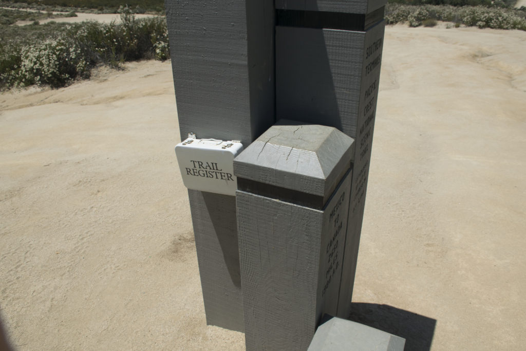
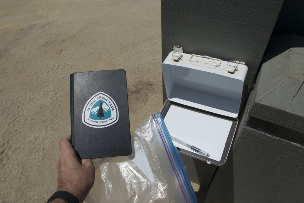
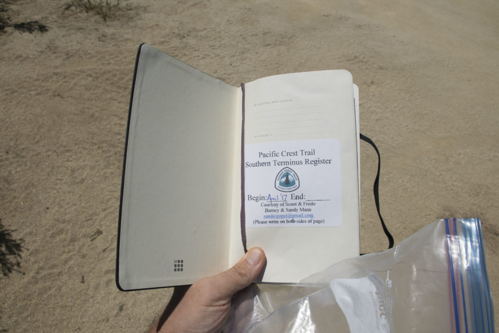
When you see the wood statue if you are going to be hiking the PCT there is a trail register on the side of the statue.
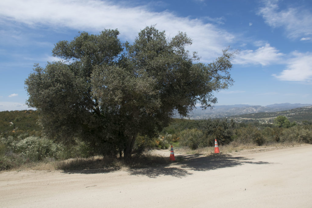
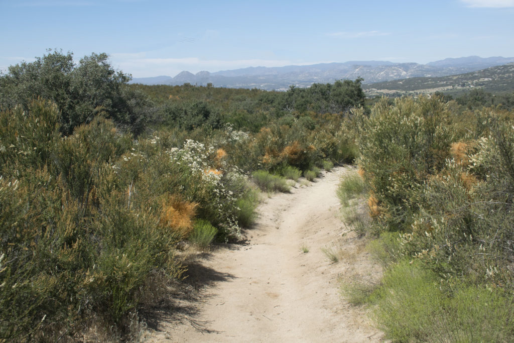
So then the last thing to do is to start to hike the Pacific Crest Trail. From the wood statue you will see a tree and two orange cones at the bottom of the small hill. Then it is time to walk the 2650 miles to Canada.
If you have made this trip, I would so love to hear about it in the comments.